Hiking Mount Teide: Best Trails and Walking Routes
The air at 2,200 meters smells like sulfur, dried pine needles, and dust. Stepping out of a rental car into the caldera of Las Cañadas feels less like arriving on a subtropical Atlantic island and more like setting foot on Mars. Most visitors simply ride the bus, take a selfie at the viewpoints, and head back down to the beach resorts. That is a mistake, because hiking teide national park is the only way to genuinely grasp the sheer, violent scale of this volcanic monument.
Whether you want to scramble over jagged black obsidian or spend a quiet morning traversing yellow pumice fields, the park holds over thirty official trails. Some will leave your legs shaking after a 1,400-meter climb. Others offer flat, family-friendly wanderings among bizarre rock formations shaped by ancient wind and lava flows. Here is an honest, boots-on-the-ground guide to the finest routes across Tenerife's volcanic heart.
The Montaña Blanca Ascent: Climbing Mount Teide on Foot
Trail 7 is the legendary one. If your goal is climbing mount teide from base to summit entirely under your own muscle power, this is where you begin. The trailhead starts along the TF-21 road at roughly 2,348 meters. The first five kilometers deceive you completely. You follow a wide, dirt track through pale volcanic gravel called pumice, climbing at an easy, steady grade. Giant round rocks sit scattered across the white slopes. Locals call them Teide's eggs. They were spat out by ancient gas explosions and rolled down the cone like glowing bowling balls before freezing into solid basalt.
Then the gentle road abruptly ends. At the base of the cone proper, the trail cuts right and immediately begins pitching upwards at grades exceeding 20 percent. You are ascending over scree, loose grit, and steep blocks of dark rock. Every breath starts to cost more energy here. The air carries roughly twenty percent less oxygen than at sea level, and your calf muscles will burn. Pace yourself carefully. Take tiny, rhythmic steps rather than big lunges.
You will pass the Altavista refuge at 3,260 meters. It has been closed for several years, though hikers still linger outside its locked stone walls to catch their breath behind the windbreaks. From the refuge, another hour of grinding through old, black lava brings you to La Rambleta, the upper plateau at 3,555 meters where the cable car dumps its passengers.
Note: Reaching La Rambleta is open to anyone on foot, but stepping onto Trail 10 to reach the true 3,715-meter crater requires a registered summit permit. Rangers check your identification and booking paper at a wooden turnstile regardless of how hard you fought to walk up.
The total climb covers around 9 kilometers one way with roughly 1,400 meters of elevation gain. Most people take between four and six hours to reach the peak. Coming back down on foot tears your knees to shreds, so many choose to take the Teide cable car back down to the road. Just check running times before you leave.
Book your teide national park experience:
Roques de García: The Essential Caldera Loop
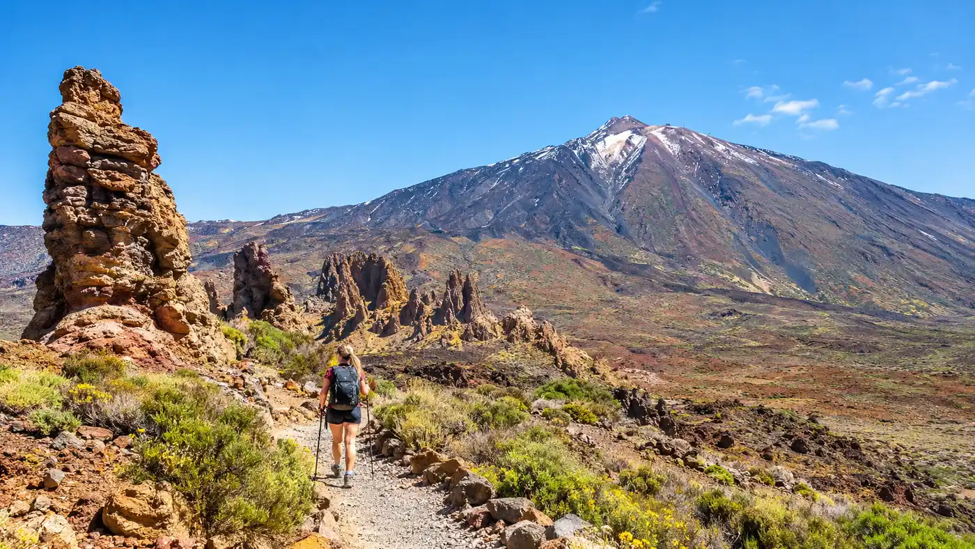
Not everyone has six hours and steel lungs for a brutal pico del teide hike. If you want high visual drama without destroying your knees, Sendero 3 is the undisputed king of short walks in teide national park. It wraps around the Roques de García, an eroded wall of ancient volcanic dikes sticking straight out of the caldera floor opposite the Parador hotel.
The walk starts directly next to the Mirador de la Ruleta. You will see Roque Cinchado almost immediately. That is the famous twisted sandstone rock that appeared on old thousand-peseta bank notes. Tourist crowds linger heavily around the first 200 meters. Walk past them. Within ten minutes, the path ducks behind the monoliths and drops down toward the Llano de Ucanca, a vast, flat desert of orange sediment that collects mirror-like pools of meltwater in early spring.
Pro tip: Walk the loop counterclockwise. That means descending the gentle northern dirt path first, then climbing the steep, rocky staircase known as the Los Azulejos gully on your way back up. It saves your joints and gives far better views of Teide framing the horizon.
The geology along this 3.5-kilometer loop changes constantly. At one corner you stare at green-tinted rock created by hydro-thermal copper vapors, and ten steps later you are surrounded by red slag. The whole circuit takes about two hours at a leisurely stroll. Bring a hat. There is zero shade here, and the sun reflects off the pumice like a mirror.
Comparing the Top Routes in Teide National Park
To help you decide which trail matches your fitness and time window, here is how the park's primary walking routes stack up against each other:
| Trail Route | Distance | Elevation Change | Approx. Time | Difficulty Level |
|---|---|---|---|---|
| Trail 7 (Montaña Blanca to Peak) | 9.2 km (one way) | +1,365 m | 5.5 hours | Challenging |
| Trail 3 (Roques de García Loop) | 3.6 km | +/- 175 m | 1.5 to 2 hours | Easy to Moderate |
| Trail 9 / 12 (Pico Viejo Viewpoint) | 9.5 km | -1,400 m (descent) | 4 hours | Moderate to Strenuous |
| Trail 15 (Alto de Guajara) | 10.2 km | +/- 680 m | 4 to 5 hours | Strenuous |
| Trail 4 (Siete Cañadas) | 16.6 km (linear) | +/- 300 m | 4.5 hours | Moderate |
Book your teide national park experience:
Pico Viejo and the Western Slopes
Pico Viejo is Teide's older, wilder sibling. Its crater is massive, measuring roughly 800 meters across and plunging down hundreds of meters into a cauldron of green and yellow sulfur tones. It last erupted in 1798, sending black lava down the western flank of Tenerife for three months straight.
Hiking el teide via Pico Viejo is wildly atmospheric. You can start high by taking the cable car up to La Rambleta and joining Trail 12 to the Mirador de Pico Viejo. On clear days you see La Gomera, La Palma, and El Hierro floating like dark blue paper cutouts on the ocean. The smell of rotten eggs wafts up from the fumaroles along the rim. It serves as a stark reminder that this mountain is asleep, not dead.
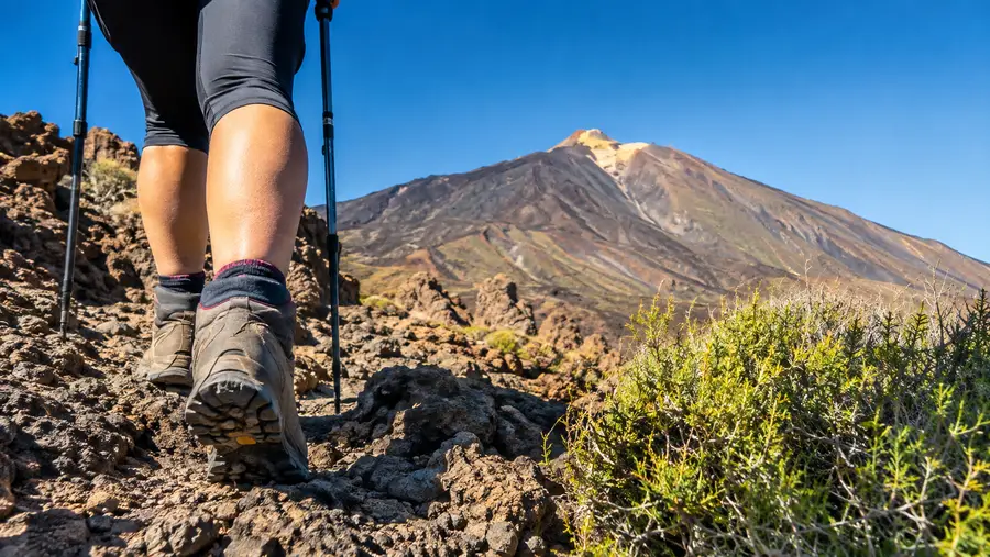
From the viewpoint, Trail 9 branches off down the jagged western ridge toward the Narices del Teide (the volcanic vents from 1798). Descending this path requires thick-soled boots and sturdy trekking poles. You are walking over deep, crumbly lapilli and jagged black malpaís. It chews up lightweight trail running shoes in minutes. If you tackle this route from the bottom up, leaving from the Mirador de las Narices del Teide along the TF-38 road, be prepared for one of the most grueling leg workouts in the Canary Islands.
Alto de Guajara and the Caldera Rim
If you ask local park rangers about their favorite hikes in teide national park, most point southward toward Alto de Guajara. Standing at 2,718 meters, it is the highest point along the jagged rim of the ancient Las Cañadas caldera. It was also the site where Scottish astronomer Charles Piazzi Smyth set up the world's first high-altitude observatory in 1856.
The trail starts near the Parador. You follow Trail 4 along the valley base before swinging onto Trail 15 at Degollada de Guajara. The path climbs steadily through broken yellow volcanic tuff and scree. The climb feels steep, but it never involves technical scrambling. Once you crest the summit ridge, the entire Las Cañadas basin reveals itself beneath you.
You are looking straight across the vast crater floor at Teide, Pico Viejo, and Montaña Blanca lined up in a row. It is by far the finest photography spot in the park, particularly in late afternoon when the shadow of Teide stretches across the cloud sea toward Gran Canaria. Ruins of Piazzi Smyth's original stone shelter still stand near the summit marker, offering a welcome windbreak while you eat lunch.
Practical Rules for Hiking Teide National Park
Walking at two thousand meters changes how your body handles physical exertion. People visit Tenerife for swimming pools and sandy beaches, then drive straight up the mountain and attempt rigorous hikes wearing flip-flops and cotton hoodies. Do not be that person.
- Hydration requirements: Carry at least 2.5 to 3 liters of water per person for half-day routes, as dry mountain air and intense sun sap fluids fast.
- Layering system: Pack a windproof shell and fleece even in mid-summer, since temperatures routinely drop toward freezing before noon whenever high-altitude gusts kick up.
- Sun protection: Apply SPF 50 sunscreen every ninety minutes, wear polarized sunglasses, and cover your neck from intense UV rays bouncing off the volcanic gravel.
- Trail rules: Stay strictly on marked trails to protect sensitive broom shrubs and prevent loose scree banks from eroding down onto hikers below.
Weather up here behaves unpredictably. You can easily leave Los Cristianos under sunny twenty-five-degree skies and find sub-zero winds, thick mist, or ice storms once you climb past 2,000 meters. Check morning mountain forecasts before tying your laces.
Frequently Asked Questions about hiking teide national park
Do I need a permit for all hikes in Teide National Park?
No. You only need a special permit for Trail 10, which covers the final 600 meters from the cable car station to the crater rim. Every other trail across the park is completely free and open to the public without advance registration.
Can I hike Mount Teide at night?
Yes, night ascents via Montaña Blanca are popular with people wanting to catch the sunrise from the peak. If you clear the summit checkpoint before 9:00 AM, you technically do not need the standard daytime summit permit, though you will need proper headlamps and extreme cold-weather gear.
Is wild camping allowed anywhere along the trails?
No, wild camping is strictly forbidden across the entire national park territory to protect the fragile desert ecology. Bivouacking or sleeping outside designated mountain facilities can result in heavy fines from environmental rangers.
Quick Reference
- Trail network: 38 official marked paths
- Highest elevation: 3,715 meters (Teide crater)
- Entry cost: Free park access year-round
- Permit needed: Trail 10 (Summit only)
- Best seasons: April to June, September to November
Book your teide national park experience:
Before You Lace Up
Standing on the rim of an active stratovolcano while the Atlantic ocean gleams through gaps in the cloud sea below is an unforgettable feeling. It demands genuine physical effort, but that is precisely what keeps these wild volcanic ridges so compelling. Pack more water than you think you need, pull on some solid hiking socks, and give this raw landscape the time and sweat it deserves.
Read more about teide national park.